
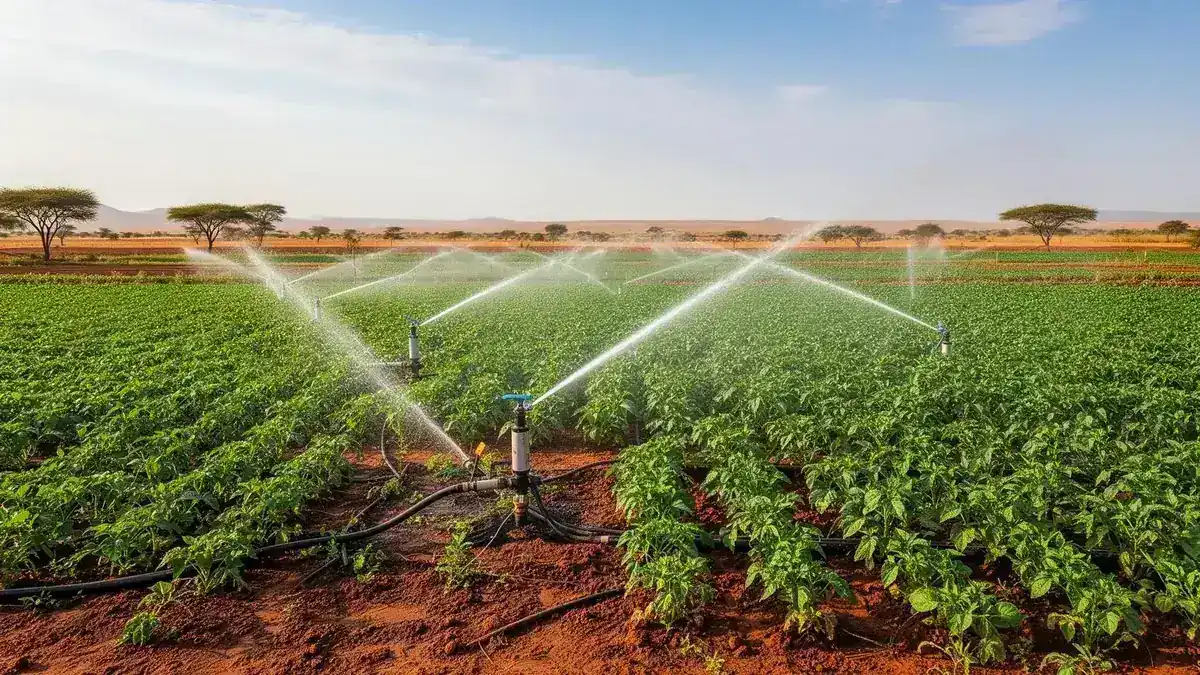
Agricultural technology: Modern Technology
Precision Tools
Digital Access
Practical Adoption
Agricultural Technology

Useful technology for real farming decisions.

Consider how soil, water and crop observations can inform decisions about field management and the timing of farm activities.

Explore agricultural tools that connect field information with practical action. From monitoring growing conditions to digital communication, discover how technology can support farmers and agribusinesses when it fits local needs, available skills and everyday working conditions.

Field Information
Precision Tools
Digital Access
Practical Adoption

25+

Tech Solutions

800+

Farmers on Platform

1M+

Data Points

55%

Efficiency Gain

200+

Hectares Covered

92%

AI Accuracy

Modern Technology in Agriculture

We bridge the gap between traditional farming and cutting-edge agricultural technology. From drone-assisted crop monitoring to mobile-based market platforms, we equip farmers with the tools they need to compete in the modern economy.

Agricultural Technology Solutions

Cutting-edge tools designed for Burundian farming conditions

Drone Crop Monitoring

Aerial surveillance and multispectral imaging for early disease detection and crop health assessment.

Mobile Farm Management

Custom mobile apps providing weather alerts, market prices, and farm management tools in local languages.

IoT Sensor Networks

Real-time soil moisture, temperature, and nutrient monitoring through connected sensor arrays.

Data Analytics Platform

AI-powered analytics transforming farm data into actionable insights for better decision-making.

Technologies We Deploy

  • Precision agriculture drones
  • IoT soil & weather sensors
  • Mobile farm management apps
  • Satellite imagery analysis
  • AI yield prediction models
  • Blockchain supply chain tracking

Proven Outcomes

Yield Improvement
+55%

Average crop yield increase through precision farming techniques

Resource Efficiency
+40%

Reduction in water and fertilizer waste through smart monitoring

Market Access
3x

Increase in market connections via digital marketplace platforms

Bridging Traditional Farming With Precision Agriculture

Our IoT sensor networks cover over 200 hectares, providing real-time soil moisture, temperature, and nutrient data. Farms using our technology platform achieve 55% higher yields and use 40% less water than those using traditional methods alone.

Key Highlights

  • 25+ AgTech solutions deployed across 5 provinces
  • 800+ farmers actively using our mobile platform
  • 1 million+ data points collected and analyzed
  • SMS-based alerts in local languages
  • Solar-powered IoT sensors for off-grid farms
  • AI-powered yield prediction with 92% accuracy

How It Works

01

Farm Assessment

Map field conditions and identify technology opportunities

02

Sensor Deployment

Install IoT sensors and connect to our monitoring platform

03

Training

Teach farmers to use mobile apps and interpret data alerts

04

Optimization

Continuously refine recommendations based on collected data

Client Success Stories

What Our Clients Say

"The drone monitoring caught a disease outbreak in my coffee plantation two weeks before I would have noticed it myself. That early detection saved 80% of my harvest."
JB

Jean-Baptiste Nduwimana

Coffee Farmer, Kayanza Province

"2Five's integrated approach saved us time and resources. One partner for farming advice, construction, and technology — it's truly seamless."
AN

Alexis Ntakirutimana

Agricultural Entrepreneur

FAQ

Frequently Asked Questions

No. Our platform works via SMS on basic phones. Farmers receive text alerts in Kirundi or French about weather, soil conditions, and market prices.

All our field sensors are solar-powered with rechargeable batteries, designed to operate for 12+ months without maintenance in off-grid locations.

We have proven results with coffee, tea, rice, maize, vegetables, and fruits. The platform adapts recommendations based on crop type and local conditions.

We offer subsidized access through cooperative partnerships. Individual farmers can access basic features for free; premium analytics are available through cooperative membership.

Our drones can survey up to 50 hectares per flight. For larger operations, we schedule regular monitoring cycles. Multispectral imaging detects issues invisible to the naked eye.